Experience unprecedented levels of accuracy and detail for survey, engineering, and utility workflows.
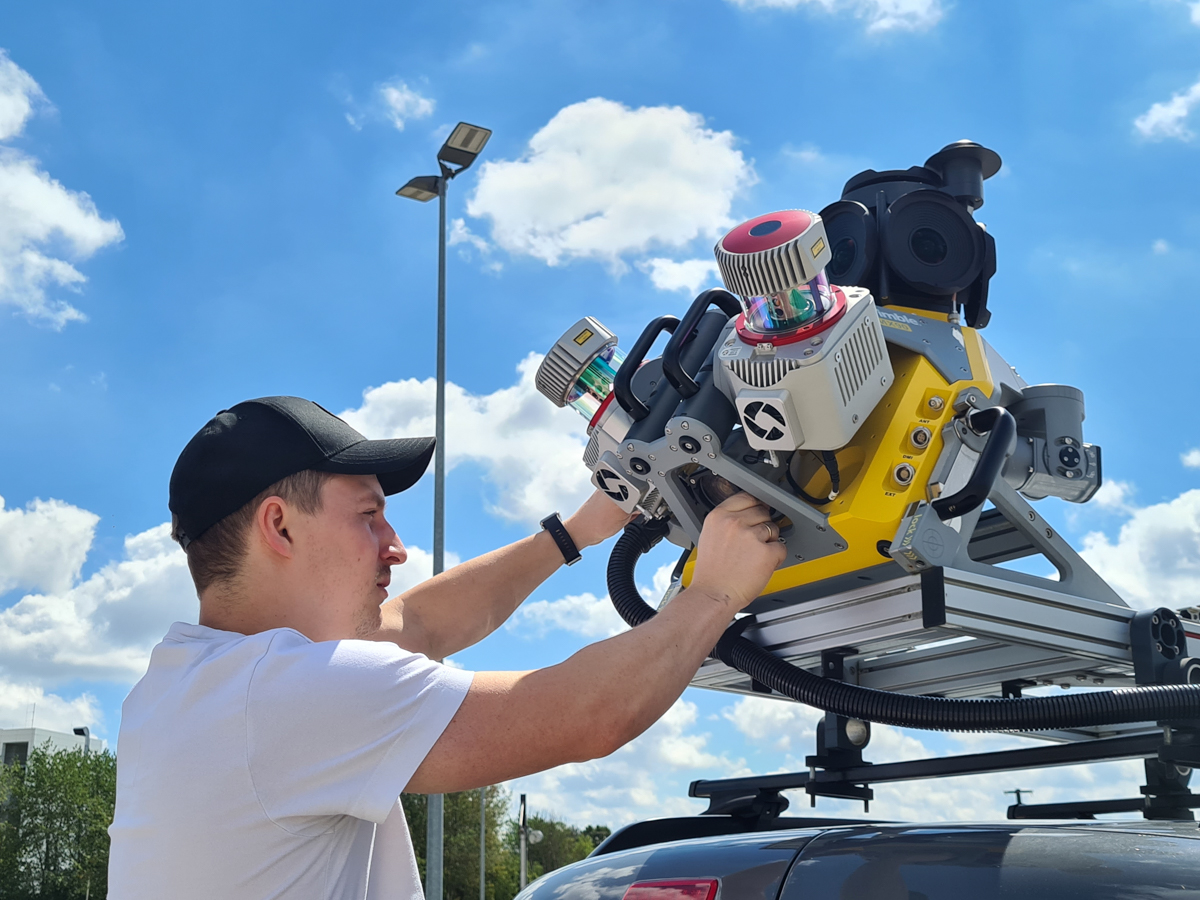
Introducing Trimble's highly-anticipated latest mobile mapping solution - the MX90! Get ready to explore the premium and powerful new technology that allows you to produce and share the highest quality of deliverables.
With its leading-edge hardware, LiDAR capabilities, and intuitive software, the MX90 takes productivity and precision to unprecedented levels for any mobile mapping project, regardless of its scale.
Impressive features include:
- Unmatched location accuracy with state-of-the-art GNSS
- Immersive imaging with 360-degree panoramic and targeted planar cameras for capturing even the smallest or most distant details in high resolution
- Rich, high-density point clouds from LiDAR technology with accurate colour projections to produce meaningful deliverables
- Intelligent software built for field-to-finish workflows and top-notch data quality even in challenging environments.
- Super user-friendly, it's easy to install and easy to operate
Enhance your data quality for large-scale scanning and mobile mapping projects
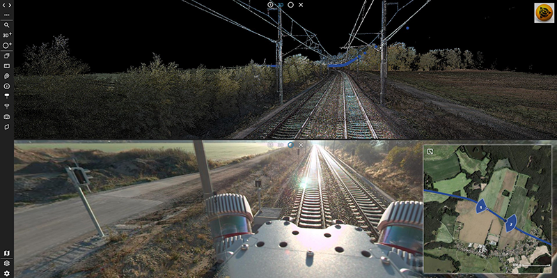
The MX90, whether mounted on a vehicle or train, swiftly captures intricate laser scans and imagery, including panoramic and multi-angle views. This immersive data, acquired at highway speeds, undergoes rapid processing to extract a diverse range of valuable deliverables for tasks such as feature detection and inspections.
With the Trimble MX90, you can harness the full power of the Trimble field-to-finish workflow for seamless capture, processing, and extraction of mobile mapping data.


